

Highlights
- Many hiking trails through the Knuckles range
- Walk through forest and grassland and cool off in streams
- Rich in birds, frogs, reptiles and mammals
- Go for a day or camp overnight
- Trails include Mini World's End and the Dothalugala nature trail
- The best time to hike is February to September
Overview
The Knuckles range, north-east of Kandy, is one of the best areas in Sri Lanka for hiking and backpacking. Part of a UNESCO World Heritage Site, it has dozens of peaks, rolling grassland, rugged summits, forest, streams, waterfalls and remote villages. Its name comes from the shape of its main peaks, which look like the knuckles of a clenched fist from some angles. Trekking here can be hard work because of thick fog, changing weather and large numbers of leeches, but it is very rewarding.
Landscape and wildlife
Vegetation changes as you walk, from grassland to tropical montane evergreen forest and cloud forest. The range is home to more than 120 bird species, around 20 amphibian species, 15 freshwater fish species, over 50 reptile species and around 30 mammal species, with many found only in Sri Lanka, so keep your eyes open on the trail.
Ways to trek
You can do a one-day hike, or camp overnight under the stars. Experienced and committed trekkers can take on hikes of three days or more with a guide who knows the area. Many trails link with footpaths used by toddy tappers, tea workers, cardamom growers and farmers, which makes a local guide strongly recommended for longer routes.
When to go
Our earlier guide recommended February to September. The range sits between the two monsoons, so conditions differ between its eastern and western sides; heavy rain makes trails slippery and rivers dangerous. Ask your guide about the latest weather.
Popular trails
Mini World's End
At the southern end of the range, a cliff gives views for miles, which is why it is named after World's End in Horton Plains. The trail, about 1.5 km long, starts at the Knuckles Conservation Centre at Deanston and takes a little over an hour. Walk to the small Deanston lake behind the centre, cross a bridge and follow the lake bank into forest and then an area of pine trees. Here the trail splits into a loop. Take the left fork across a flat area and through more pine trees, then climb steps up the cliff to the observation deck. On a clear day, you can see small villages in the valleys below.
Dothalugala nature trail
This trail of about 4 km climbs to Dothalugala, one of the 34 named peaks of the Knuckles, with wide views of the southern end of the range. From the conservation centre, the first 2 km is an uneven jeep track to the Deanston dormitory and campsite, climbing gently through countryside with small villages and forest patches. Past the campsite, four trails meet; take the one on the left directly ahead. It climbs steadily into dense forest, crosses a small stream, and climbs another 100 metres before levelling out into a bamboo forest. The path goes up and down to the Dothalugala viewpoint, overlooking pygmy forest. On the way back, take another path on the left, which descends through an isolated tea estate with less forest cover, completing a loop around the mountain.
Nitro Cave from Corbet's Gap
A popular trail of around 11 km, taking about 5 hours. Corbet's Gap is the highest point on the road to Meemure. The trail descends through the Knuckles landscape, leaves the Meemure road towards Kumbukgolla village, then narrows into a path through forest and climbs to Nitro Cave. This large cave has been home to bats for a very long time, and their droppings left deposits of saltpetre, which is said to have been used to make gunpowder in the past.
The Knuckles peaks from Bambarella
There are 34 named mountains in the Knuckles forest reserve, but the five main peaks of the Knuckles itself are the most climbed, and the Bambarella trail is the most popular route to the top. The full hike takes about 5 to 6 hours, so start as early as possible.
- To the falls: from Bambarella, travel about 5 km to the trailhead. The trail starts on the right of the tarred road and crosses flat, open ground for about 600 metres to a junction. Turn right to reach Knuckles Falls. There is not much of a pool, but you can stand under the falling water.
- To the last water: return to the junction and climb through low montane forest to a stream that feeds the falls. This is the last water source until you return, so fill your bottles here.
- The campsites: the trail crosses flat ground and low growth to the first campsite, with the Knuckles peaks to your left and the hills around Kandy to your right. It continues to a second campsite, where the climb gets harder.
- Through the low forest: next comes a wood of low, close-growing trees with thick branches, where you need to bend to get through. Beyond a resting spot, the climb is very steep, slippery with stones and loose soil, and the dense canopy hides the peak.
- The summit: at a junction in the woods, turn left for the peak. From here, the climb is extremely steep, so take great care. The vegetation turns to mountain forest, and large rocks along the way make good resting places. After about 30 minutes, you reach the first peak on your right. Follow the marked path to the second peak, the highest point of the range, where a viewpoint gives 360 degree views over the forest reserve.
- The other peaks: if you want to continue to the remaining three peaks, the path runs along the edge of the rock, is not clearly marked, and mist can hide the drops, so be extra careful. With little vegetation on this section, you can reach the fifth peak in about an hour in good weather.
Other trails
Other routes include the trail to Alugallena from Corbet's Gap, Kalupahana from Meemure, the Pitawala Pathana grassland trail, the Ash Cave trail, a short walk to caves said to have sheltered Sri Vikrama Rajasinha, the last king of Kandy, the Rathna Ella waterfall trek, and the Sitakotuwa limestone cave and waterfall.
Getting there
The range has two main access points. From Kandy, a road climbs through Rangala to Corbet's Gap and continues down to Meemure, which takes around 2 hours. From Matale, roads lead through Rattota towards Riverston and the Deanston area, where the Knuckles Conservation Centre is. Bambarella is reached from the Kandy side. Roads are narrow and steep, and some sections are rough, so a driver who knows the area helps. Public buses run to some villages but are slow and infrequent.
Guides and safety
Trails in the Knuckles are often poorly marked and mist can come in within minutes, so it is easy to lose the way. Local guides can be arranged through the conservation centre or village homestays, and they know which paths are open, where water is, and how the weather changes. For camping and multi-day hikes, a guide is essential. Leeches are most numerous after rain; they are harmless but annoying.
What to bring
- Leech socks and repellent. Lime juice or salt helps remove leeches.
- Rain gear, warm layers and good boots.
- Water, snacks and a map or offline navigation.
Practical tips
- Forest Department entry fees apply on many trails; check locally.
- Camp only at permitted sites, and take all rubbish out.
- Tell someone your route and return time.
Join our trekking tour, or see Knuckles hotels.
Prices are as of October 2026 and may change.
Related posts

Nuwara Eliya City Tour
Explore Nuwara Eliya, the hill station often called Little England, on a guided day. The tour links colonial buildings, Lake Gregory, Victoria Park, a tea factory and Hakgala gardens.
Image Credit: ShutterStock

Kandyan Dancing and Cultural Shows
Kandyan dance is the best known classical dance of Sri Lanka. Evening shows in Kandy present dance, drumming and fire walking in about an hour.
Image Credit: ShutterStock

Adam’s Peak
Adam's Peak, or Sri Pada, is a steep peak of 2,243 metres sacred to Buddhists, Hindus, Muslims and Christians. Pilgrims climb about 5,000 steps by night from December to May to reach the summit for sunrise.
Image Credit: ShutterStock

Surfing in Arugam Bay
Arugam Bay is Sri Lanka's best known surf destination, with the season running from about April to October. The Main Point offers long right-hand waves, and other breaks nearby suit beginners.
Image Credit: ShutterStock
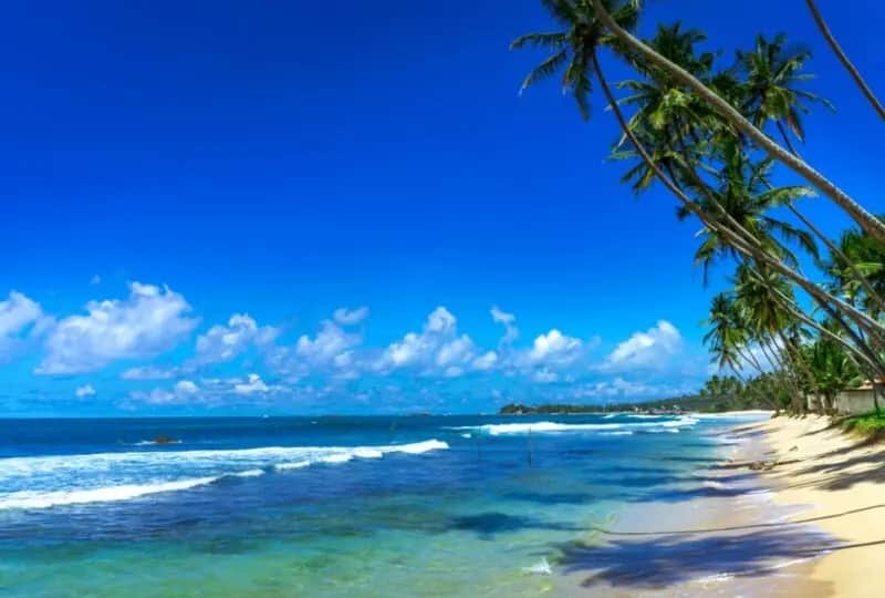
Unawatuna Beach
Unawatuna, about 6 km east of Galle, has one of the best known beaches in Sri Lanka. The curved bay is partly sheltered by a reef and good for swimming from about November to April.
Image Credit: ShutterStock

Beruwela Beach
Beruwala, about 1.5 hours from Colombo, has a long sandy beach lined with resort hotels. The sea is calm from about November to April.
Image Credit: ShutterStock

Ravana Cave
Ravana Cave is a cave in the cliffs near Ella, reached by steep steps from the road towards Wellawaya. It is linked to the Ramayana story of Sita's captivity.
Image Credit: ShutterStock
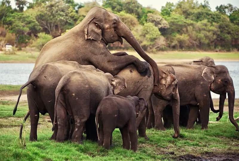
Minneriya National Park Safari
Watch the gathering at Minneriya, when large herds of wild elephants graze around an ancient tank in the dry season, usually from about July to October. Afternoon jeep safaris leave from Habarana and Sigiriya.
Image Credit: ShutterStock
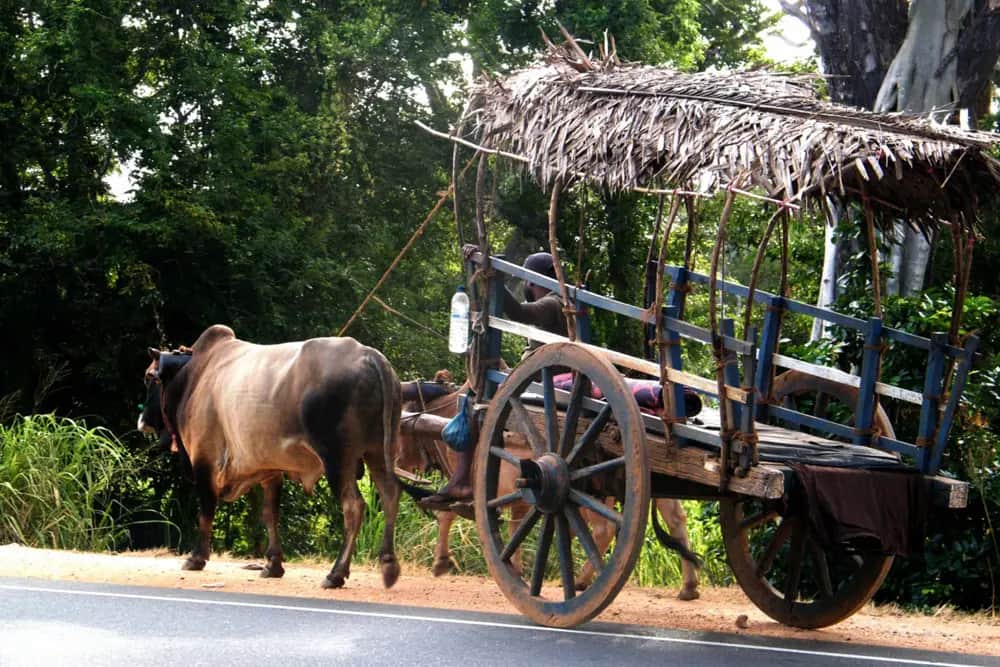
Village tour
A village tour near Habarana is a half-day look at rural life in the dry zone. Ride a bullock cart, cross a lake by canoe and share a home-cooked meal.
Image Credit: ShutterStock
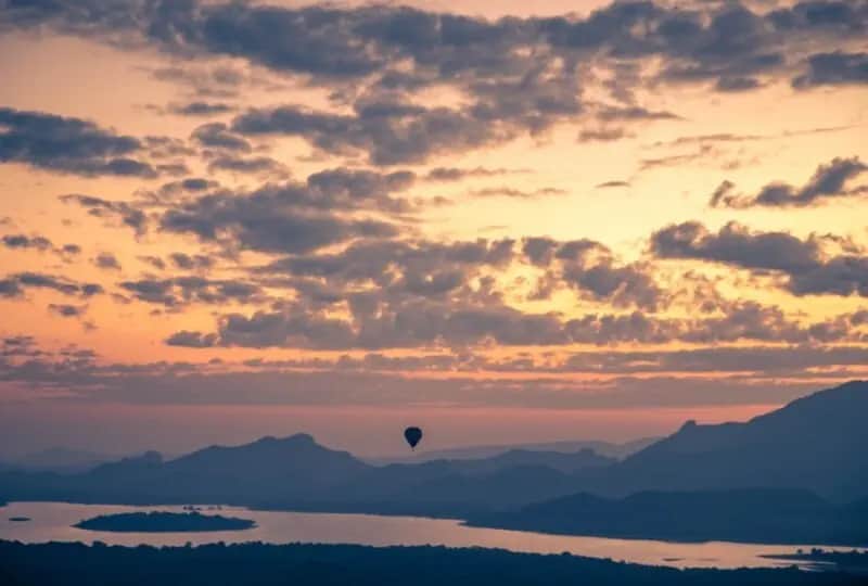
Hot Air Ballooning in Dambulla
Fly over the Cultural Triangle at dawn in a hot air balloon, looking down on forest, lakes and rocks such as Sigiriya. Flights run in the drier months.
Image Credit: ShutterStock
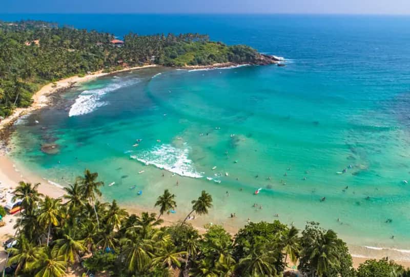
Surfing in Hiriketiya
Hiriketiya is a small horseshoe bay just east of Dikwella, with waves for beginners and intermediates and a relaxed beach scene. Boards and lessons are easy to find.
Image Credit: ShutterStock

Lahugala National Park Safari
Lahugala Kitulana is a small park inland from Arugam Bay, important for elephants that gather around its tanks. A short safari here is easy to add to a stay on the coast.
Image Credit: ShutterStock
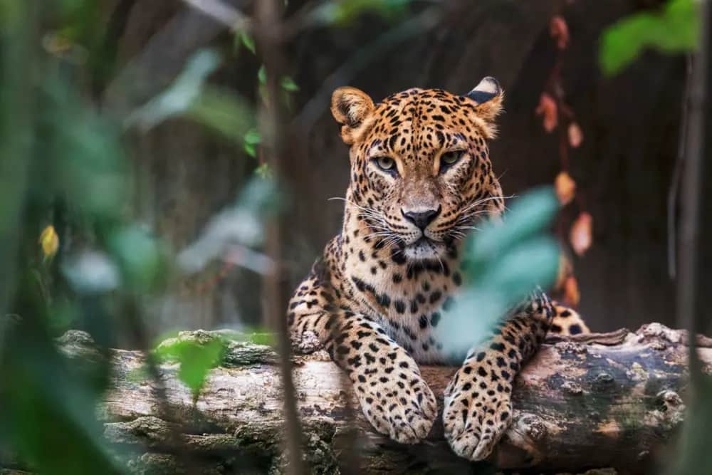
Yala National Park Safari
Yala National Park in the south-east is Sri Lanka's most visited park and one of the best places in Asia to see leopards. Elephants, sloth bears, crocodiles and many birds live among its scrub and lagoons.
Image Credit: ShutterStock
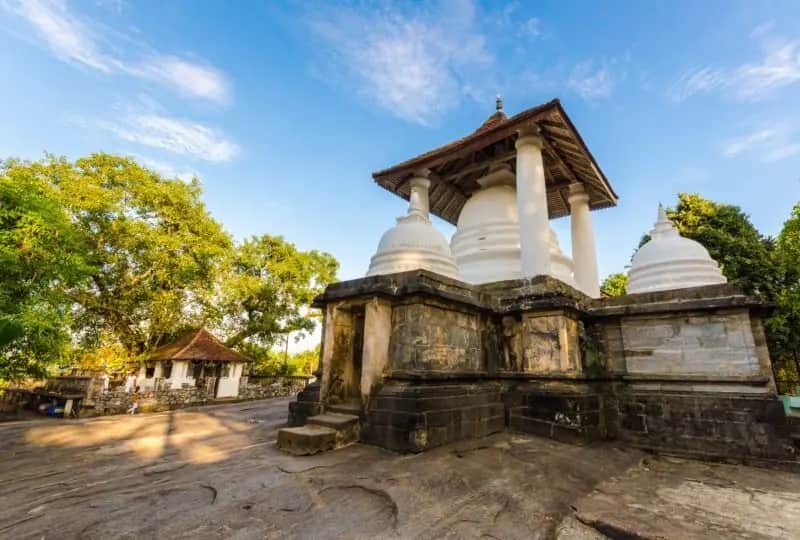
Gadaladeniya Temple
Gadaladeniya Raja Maha Viharaya is a 14th century stone temple on a flat rock at Pilimathalawa, west of Kandy. Its design shows South Indian influence.
Image Credit: ShutterStock

Negombo "Lellama'' Fish Market
Lellama is Negombo's main fish market, near the lagoon mouth. Come early in the morning when the boats unload and the auctions are at their busiest.
Image Credit: ShutterStock

Victoria Golf & Country Resort
Victoria Golf and Country Resort, at Digana about 30 to 40 minutes east of Kandy, has an 18-hole course on rolling hills above the Victoria reservoir.
Image Credit: ShutterStock

Stilt Fishermen of the South
Stilt fishing is a traditional way of fishing on the south coast, with fishermen perched on poles set in the shallows. Today many pose for photographs between Koggala and Weligama and expect a tip.
Image Credit: ShutterStock
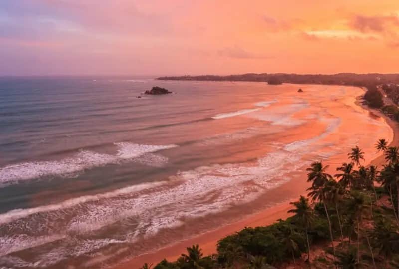
Weligama Bay and Beach
Weligama, meaning sandy village, lies on a wide, curving bay between Galle and Mirissa. Its long beach is lined with surf schools, cafes and fishing boats.
Image Credit: ShutterStock
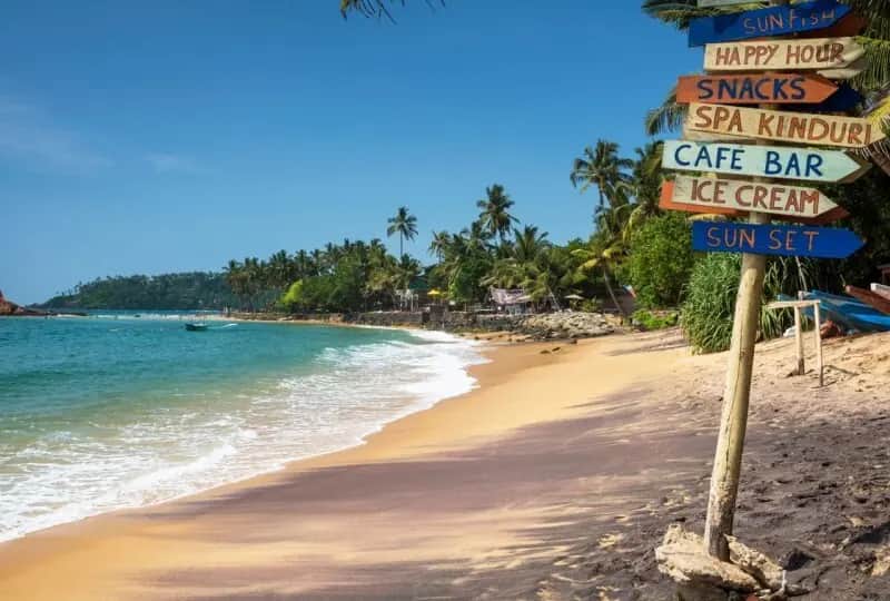
Mirissa Beach
Mirissa has a curved sandy beach backed by palms, restaurants and guesthouses. Swimming is best from about November to April, and the sunsets over the bay are a highlight.
Image Credit: ShutterStock
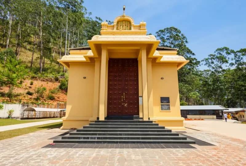
Sri Baktha Hanuman Temple
The Sri Baktha Hanuman temple stands on a hillside at Ramboda, between Kandy and Nuwara Eliya, looking over the Kotmale valley. It is dedicated to Hanuman and is a stop on the Ramayana trail.
Image Credit: ShutterStock